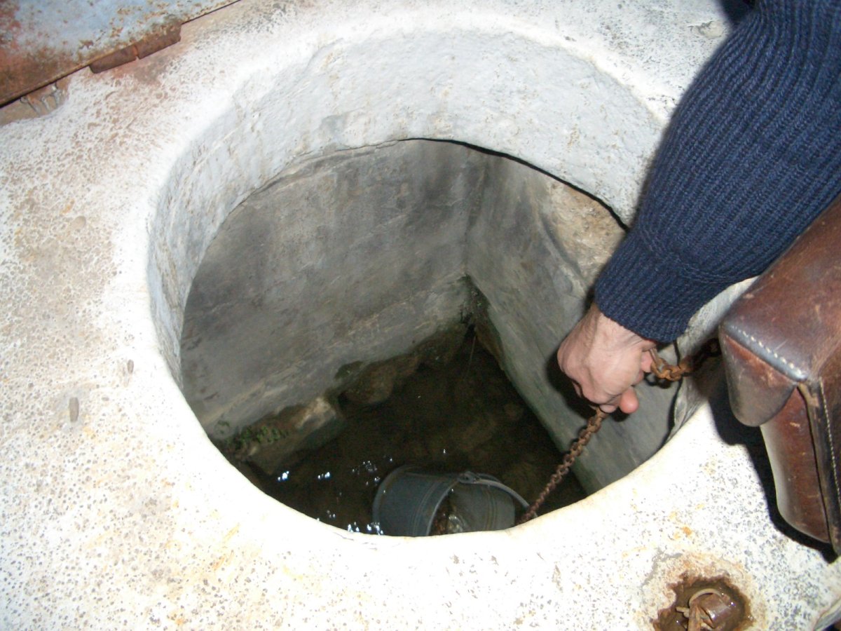
In parts of Iran, a village’s water supply travels underground for tens of kilometers before anyone sees it, and it arrives without a pump, without a canal, and without a single liter lost to evaporation. The system that does this is the qanat, and it is one of the oldest and most elegant pieces of water engineering in the world. It is also, in many places, dying.
The problem: water that never reaches the surface
In an arid region, rain falling on the mountains does not stay there. It runs off, soaks into the gravel of alluvial fans at the base of the range, and becomes groundwater. The water table in those fans slopes gently away from the mountains and sits far below the surface. A river may disappear into the gravel and reappear kilometers downstream, or not reappear at all. For a settlement on the plain, the water is there — underfoot, in quantities that could support a town — and inaccessible without digging.
Open canals do not solve the problem, because a canal has to start at the surface and stay there. Cut a channel from the mountains and it either runs downhill too fast and reaches the village above the water table, or it must be cut deep, becoming a trench that fills with sand and loses water to evaporation and seepage. A qanat avoids both by staying underground: it taps the aquifer where the water table is high, then follows a gradient gentler than the land surface, remaining below ground until it reaches the fields.
Finding the mother well
Building a qanat begins with finding water, and the traditional method is patient and physical. A muqanni, the specialist digger, reads the signs of an alluvial fan: the shape of the slope, the size of the gravel, the presence of moisture-loving plants, the places where snowmelt disappears. Test pits are sunk to find the water table and to measure its depth at several points upslope, which reveals the slope of the water table itself.
The critical hole is the mother well, sunk at the uphill end of the planned tunnel, close to the mountains where the aquifer is highest and the water freshest. It is the deepest shaft on the line and establishes both the water level and the starting elevation for the whole system; everything downstream is surveyed from that point. If the mother well is placed too far downslope, the tunnel will be long and the yield modest; too far upslope and the excavation may never reach water.
Slope, tunnel, and the gentlest gradient
The whole design rests on one relationship: the tunnel must run downhill, but more slowly than the ground above it. The gradient has to be steep enough to keep water moving and prevent silting, and shallow enough that the tunnel does not break out onto the surface before it reaches the fields. In practice that means a slope of a few parts per thousand — a fall so gentle it is invisible to the eye and must be set with levels, plumb bobs, and sighting frames.
Getting the gradient wrong is unforgiving. Too steep and the qanat emerges halfway down the fan, leaving the lower fields dry and the tunnel above them useless. Too flat and the water stalls, the tunnel silts, and the flow drops. Because the gradient must be held over kilometers, and because the tunnel is dug from many shafts at once, the surveying has to be consistent across the entire line. A small error at the mother well becomes a large error at the outlet.
The tunnel itself is usually just large enough for a man to crouch and work, with a slightly arched roof for strength. In stable ground it may be left unlined. In loose gravel or soft soil, sections are lined with baked brick or stone, and the invert is sometimes paved to reduce scour. Where the tunnel passes beneath a river or a patch of unstable ground, the lining is the difference between a working qanat and a collapsed one.
Shafts as construction and maintenance access
The vertical shafts are the feature most visible from the surface, and they are often mistaken for wells. They are not: they are access points. A long qanat may have hundreds of them, spaced closely enough that spoil can be hauled up and a worker lowered, and closely enough that the tunnel can be ventilated during construction. Digging from many shafts at once is what made these projects feasible; a single heading driven from the outlet would take far too long.
Shafts also make maintenance possible. Every qanat silts up, and every qanat needs its tunnel cleared, its lining repaired, and its shafts kept open. The work is done by hand, in the dark, with simple tools, and it is dangerous. Shafts are ringed with a raised collar of earth or stone to keep runoff and debris out, and covered between inspections. In villages where the qanat is the main supply, the maintenance schedule is a communal obligation, and water shares are tied to the work.
Water is shared by timed allocation. A household’s share is measured in units of time — so many minutes or hours of flow at the outlet, day or night — and the rotation is managed by a water master responsible for the schedule and for enforcing it. The system works because the shares are visible, the timing is public, and the community has a way to sanction someone who takes more than their turn.
Why qanats fail today
The most common cause of failure is not structural. It is the water table dropping below the mother well. When pumped wells are drilled into the same aquifer, they can lift water faster than the qanat can drain it, and the water level falls. A qanat has no way to follow the water down: its gradient was fixed when it was dug, and once the aquifer drops, the mother well runs dry and the tunnel stops flowing. The qanat does not break; it becomes a dry hole, and the fields it watered are abandoned.
Several pressures combine. Cheap pumps and subsidized electricity make groundwater extraction attractive, and solar pumping has made it cheaper still. Urban growth draws on the same aquifers; dams and upstream diversions reduce recharge; droughts lower the water table further. Tunnels collapse after earthquakes or floods, and repair costs rise as labor migrates to cities. In some places, construction over the tunnel line has broken the shafts. The result is a slow abandonment that is hard to see from the surface, because the shaft heads remain while the water does not.
What modern water managers can learn
The qanat’s virtues are easy to list. It runs on gravity, so it needs no energy. It is covered, so it loses almost nothing to evaporation, a decisive advantage over open canals in a hot, dry climate. It delivers water to the fields at the elevation where it is needed, without pumping. Its maintenance is decentralized, its water rights are defined in time rather than volume, and its infrastructure is repairable with local materials and local labor.
The lessons are not simply nostalgic. Gravity-fed systems still make sense where topography allows, and the qanat’s low evaporation loss is directly relevant to modern irrigation design. Timed allocation is a workable model for sharing a variable supply, and the qanat’s long record shows that water rights are more durable when they are visible and locally enforced. Managed aquifer recharge, which deliberately puts surplus water back underground, is in some ways a return to the qanat’s logic of storing water in the aquifer rather than a reservoir.
The caveat matters. A qanat is not automatically sustainable: it will drain an aquifer until the two reach equilibrium, and if abstraction elsewhere exceeds recharge, the qanat is the first casualty. What it demonstrates is a way of using groundwater bounded by geology and by community agreement rather than by the size of a pump. Modern managers who ignore that bound tend to end up with a system that cannot be maintained and cannot be turned off.