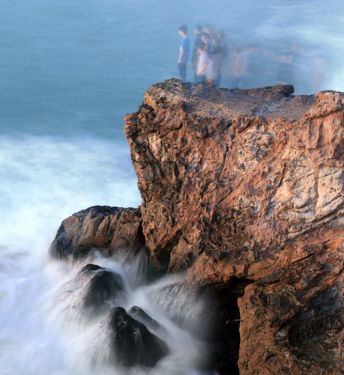
Seen from the water, the cliffs of eastern Sai Kung read as a row of dark columns packed shoulder to shoulder, each one pencil-straight and most of them six-sided. The shape is so regular that it looks designed, and the usual first question from a boat is who cut them. Nobody did. The columns are the fossil record of a cooling process, and the cliffs are the record of the sea taking that record apart.
What the columns are made of
The rock is rhyolitic volcanic tuff, the product of eruptions that shook this part of southern China around 140 million years ago, during the Late Jurassic and Early Cretaceous. Rhyolite is a silica-rich lava, and silica-rich magma is viscous: it traps gas, erupts explosively, and throws out ash, pumice, and fragments rather than running downhill in smooth flows. When those fragments land hot and are buried under later deposits, they weld together into a rock that is fine-grained, hard, and — crucially — fairly uniform from place to place.
Hong Kong’s volcanic story is bigger than a single cone. The region sat above a volcanic arc, and repeated eruptions built and collapsed calderas, the large basins that form when the ground subsides after a major eruption. Ash flows and fall deposits filled those basins in layers, some of them hundreds of meters thick. The columns we see today are exposed sections of those deposits, cut open by erosion along the coast. The rock’s uniformity is what allows long, straight fractures to run through it without being deflected by changes in texture.
Why cooling lava cracks into hexagons
Hot rock contracts as it cools. When a sheet of ash or lava cools from a surface inward, the outer layer tries to shrink while the interior is still hot and expanded, and the resulting tension has to go somewhere. It goes into cracks. The cracks propagate inward, perpendicular to the cooling surface, and they meet each other at roughly right angles, dividing the sheet into prisms.
Six sides are the usual outcome because a hexagonal pattern is an efficient way to fill a plane while minimizing the energy tied up in the fracture network. But the geometry is a tendency, not a law. Five- and seven-sided columns are common, and irregular polygons appear where cooling was uneven or where the rock contained flaws. In a thick ash flow, cooling from the top and the bottom can produce two sets of columns that meet in the middle. Column width is a rough clock: rock that cooled slowly, typically deep inside a thick deposit, develops wider columns, while rock that cooled fast near a surface develops narrow ones.
The difference between columns and cliffs
It helps to keep two things separate. The columns are a structure inside the rock; the cliffs are a landform cut into it. The columns formed at depth, over years to decades, as the deposit cooled. The cliffs formed much later, as waves and weathering removed material and left a face behind.
Because the cliff face cuts across the columnar structure at whatever angle the coastline happens to run, the columns appear in different orientations from different viewpoints: vertical where the face is parallel to their axis, tilted or foreshortened where it is not. Joints between columns guide where blocks detach, so the cliff tends to fail along column boundaries, producing clean vertical scars and blocky rubble at the base rather than a smooth wall. Faults add another layer of control: a fault crossing the ash flow can offset a whole field of columns and put two different cooling units side by side. A cliff can therefore show columns in one stretch and massive, uncracked tuff in the next, without any change in rock type.
How sea erosion exposes the record
Wave action does the exposing. Where the sea meets a jointed volcanic cliff, it cuts a notch at the high-water line, undercutting the rock above. Blocks bounded by column joints then collapse, the debris is washed away, and the cliff retreats. The process leaves behind the classic set of coastal forms: sea caves where a notch has been driven deep into a weakness, arches where two caves meet, and stacks where a headland has been isolated and the sea continues to wear it down.
Sea stacks off Sai Kung are made of the same tuff as the cliffs behind them, and their columns are often easier to see because the stack exposes several faces at once. The rate of retreat depends on wave energy, the spacing of joints, and the hardness of the rock, and it is not steady: long quiet periods are interrupted by collapses. Freshly exposed rock is dark and sharp; older surfaces are weathered, stained, and colonized. Because sea level rose after the last glacial period, much of the present cliff line is a geologically young feature, cut into a much older volcanic landscape.
What a geopark actually protects
A geopark is not simply a park with rocks in it. Under the UNESCO Global Geopark framework, a designated area must contain geological heritage of international significance and must be managed for protection, education, and sustainable development together. That triple mandate is the point: the designation is as much about interpretation, guiding, and local livelihoods as it is about fencing off a site.
Hong Kong’s geopark covers volcanic and sedimentary terrain in the northeast and east of the territory, and it overlaps with existing marine and country park protections rather than replacing them. The geopark label brings visitor centers, guided walks, training for local guides, and a framework for geotourism — the idea that visitors who understand a landscape will pay to see it and will support the communities that host them. It does not, by itself, prohibit fishing, boating, or development. Those controls come from the underlying legal designations, which is why the geopark’s practical protection depends on how well those rules are enforced and how well the story is told.
Visiting without damaging the site
The columns are sturdy; the surfaces around them are not. Stay on marked trails and boardwalks, especially on exposed headlands where a thin soil crust and a few salt-tolerant plants are all that hold the ground together. Climbing on columns breaks edges, accelerates weathering, and is dangerous on wet rock. Collecting specimens — even a loose chip — is prohibited in Hong Kong’s protected areas, and it removes the evidence that makes the site worth visiting.
Boat trips are the standard way to see the cliffs, and they are best booked with operators who keep a respectful distance, avoid anchoring on reef, and do not chase wildlife. On busy weekends the trails and viewpoints can be crowded, which is a management problem as much as a visitor one; going early or on a weekday spreads the load. Hiring a trained geopark guide is money well spent if you want to read the rock rather than photograph it, and it keeps the guiding economy attached to the place instead of to a bus company. Take out what you bring in, keep to the hardened paths, and leave the geology where it is.